Features SeaMap
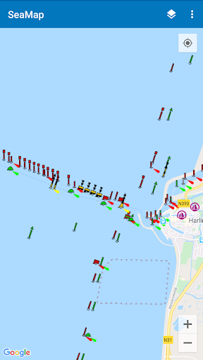
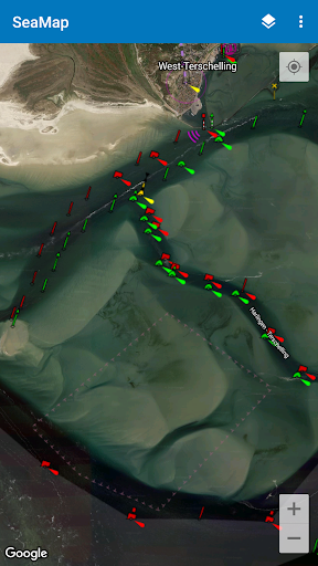
SeaMap shows nautical information on a map.
This is useful when you go out sailing with your boat.
It includes beacons, buoys, SIGNI, IALA-A and other navigation aids.
The information is obtained from OpenSeaMap which is part of the OpenStreetMap project.
It mainly covers parts in Europe, like the Baltic Sea and the North Sea.
But more regions are covered like for example areas in Australia.
🛡️
Secure & Private
Your data is protected with industry-leading security protocols.
💬
24/7 Support
Our dedicated support team is always ready to help you.
⭐
Personalization
Customize the app to match your preferences and workflow.
Screenshots
See the SeaMap in Action

Get the App Today
Download on Google Play
Available for Android 8.0 and above